Product Overview
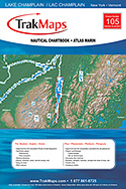
In both French and English, this navigational guide covers the entire 125 mile lake, from Noyan Quebec to Whitehall NY. 12 pages of maps in brilliant 4-color ink, completely waterproof, durable spiral-bound edition. Each map shows depths, bottom composition, topography, buoys, lights, fishing hotspots, lakeside services, wrecks, ferry systems, locks, launch ramps, repair spots. Map #105 12"W x 18" T
Special note to Lake Champlain lovers! If you've ever longed for a large wall-mounted map of the lake, look no further than this Trac version. With two copies, you can remove each page, trim the edges, then mount them end-to-end, left to right on a wall.
The result is fairly spectacular! We did this in our home, and now have a 16 ft.wide complete map of the lake...laying on its side. We constantly use it to find exploration spots and to show off America's largest mountain lake to newcomers.


