Product Overview
Find your way to our Summer Dock using this map. We are located on City Bay, East Shore of North Hero Island, lower center of the chart.
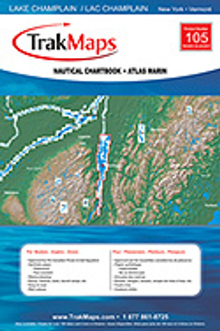
Waterproof lake chart of Lake Champlain. Three maps needed to navigate from Canadian border south to to New York City. This map covers the NORTHERN PORTION of Lake Champlain, from Burlington to the Richelieu River. Water Proof Chart. Can be folded or rolled. Tear resistant. NOAA document. GPS and Loran Co-ordinates. Depth soundings in Feet. Map #12. 25" x 37"


