Product Overview
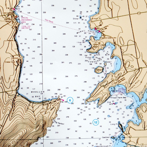
NOAA Waterproof Chart of Lake Champlain, Southern Region. Map #11. Covers Burlington VT to Troy NY on the Hudson River. Waterproof. Can be folded or rolled. Tear resistant. GPS and Loran coordinates. Widely used by boaters in this area. 25" x 37"


